Rexford to Columbia Falls MT

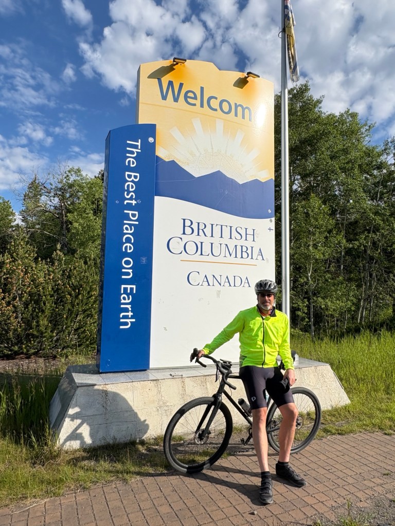
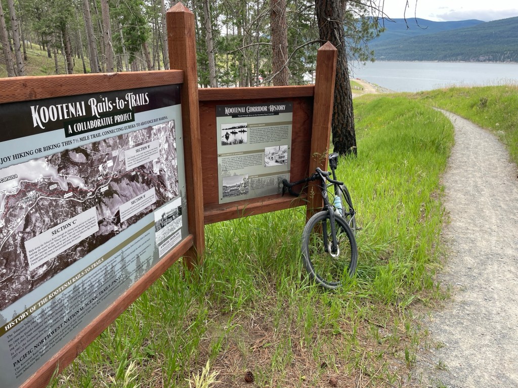
The Kootenai Rail Trail is a prototypical conversion of an abandoned railway into a multi-use trail. The Great Northern Railway ran through here from 1904 to 1968, carrying timber, coal, livestock and settlers.

Today, my fellow trail users included dog walkers, joggers, hikers, cyclists, and a few deer.

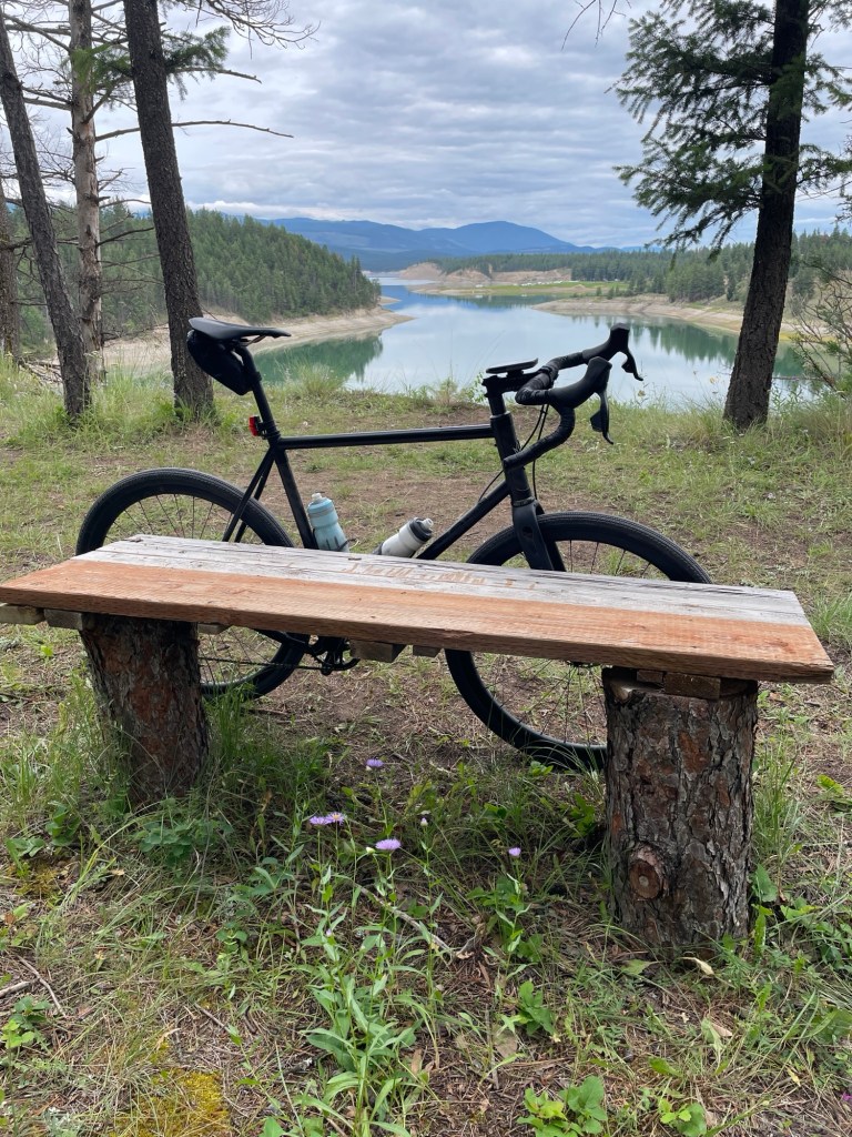
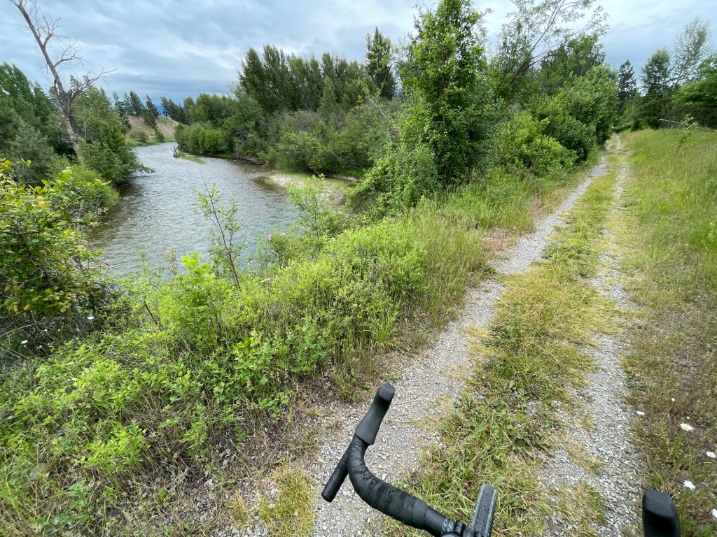
A gorgeous morning stroll through a quintessential northwest Montana River valley… reminiscent of the ranch land my grandfather grew up in, near Butte, MT.

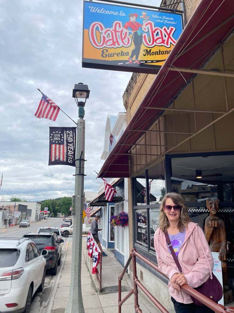
The trail runs to a quintessential Montana town named Eureka, where Jax and I met up for brunch at a very appropriately named establishment. (And quintessential small town cafe)

From Eureka, it was a wet rain dance down to the towns of Whitefish and Columbia Falls, with some major roadwork along the way. It’s been said that Northern Montana has two seasons… winter and construction season. There is actually a bit of both right now as a storm system is bringing cold rain to the valleys and late June snow to the higher peaks.

Columbia Falls serves as our basecamp for exploring Glacier National Park over the next few days.

Fernie BC to Rexford MT

And then came the rains… given the soggy forecast, we bolted early from Fernie in hopes of catching a calm morning on Surveyor’s Lake, a recommended favorite of local paddle boarders.

We timed it perfectly, just enough patchy morning sun to illuminate this crystal clear shallow mountain lake and reveal its underwater inhabitants – Western Painted Turtles and Largemouth Bass.

Soon the predicted rains came, so we reluctantly packed up the boards and headed south to the border.

The rain followed us into the US and to our destination for the night, Rexford Montana. We took shelter in a pre-rented 39 ft luxury RV, mere steps away from the Frontier Bar and an entertaining guitarist named Todd who tours in his own RV between Arizona and Montana.


As Todd was uncannily nailing Neil Young songs, the skies began to clear and nearby Rexford Beach began calling to us.

Lake Koocanusa snakes 90 miles from Montana to Canada in the Kootenay valley. The water on this long winding lake was incredibly calm on this late summer evening.

We enjoyed an absolutely beautiful and memorable sunset paddle under the big Montana sky.

Crowsnest AB to Fernie BC

An enjoyable early morning spin to the top of the continental divide, which also marks the provincial border between Alberta and British Columbia. Our journey could conceivably stop right here, given that we’ve found ‘The Best Place on Earth’.

From the top of the pass, it’s a downhill ride thru coal mining country (the best Coal on Earth?) to the town of Sparwood, which claims to have the world’s largest truck.

There are plenty of trucks rumbling down Canada’s Crowsnest highway, but thankfully I’ve not encountered one this size. Experiencing a sudden fear of large motorized vehicles, I left the highway in Sparwood and traversed down the picturesque Elk Valley Trail.

While I unfortunately didn’t see Pixie the missing cat, I did see plenty of Elk… confirming that this single-track trail is well named. Oh, and I also found Sasquatch.

Fernie, our destination town this day, is a bustling ski village in winter and a mountain biking mecca in the summer. Good to see more bikes than cars in the quaint downtown streets.

We’ve got a well-deserved rest day in Fernie, then we head for the US border into Montana.

Blog at WordPress.com.

Up ↑