C2C Day 31 Mankato To Red Wing MN

Reconciliation Park

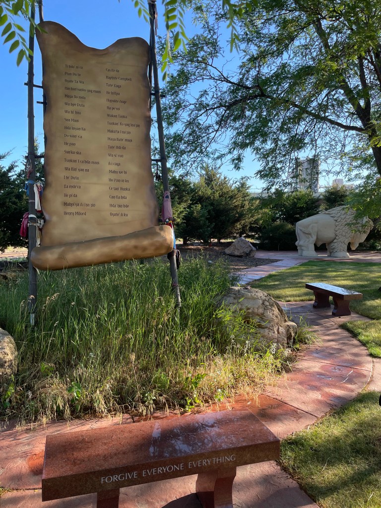
Today’s ride began with a stop at Reconciliation Park in Mankato, a sacred parcel of land near the site where 38 Dakota Warriors were executed during the U.S.-Dakota War of 1862 – the largest mass execution in U.S. History. The poignant park lists the names of those lost, features a spiritual buffalo statue, and tries to both teach and amend the clash of cultures through a powerful phrase: Forgive Everyone Everything
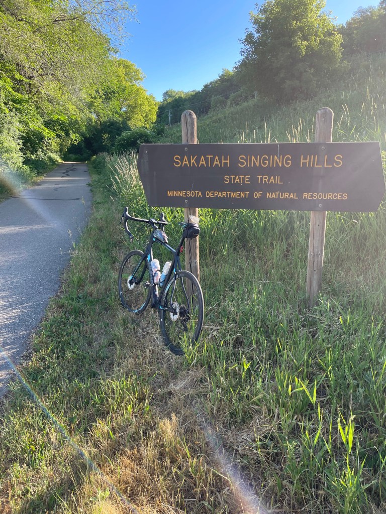
Starting point of the 43 mile Sakatah Singing Hills State Trail

Just a bit North of Mankato is the trail head for the Sakatah Singing Hills State Trail. Sakatah is a Dakota-Wahpekita tribe word for ‘Singing Hills’ – so the trail literally translates to ‘Singing Hills Singing Hills’ – which is very apt, with chirping birds, humming dragon-flies, scurrying chipmunks, and singing recreationalists lining the route. A former rail line connecting Mankato and the Minnesota River with the town of Red Wing and the Mississippi River, about 95 miles distant. Teeming with trees, the converted Rails-to-Trails line elicits spontaneous bouts of Singing from those on the path!
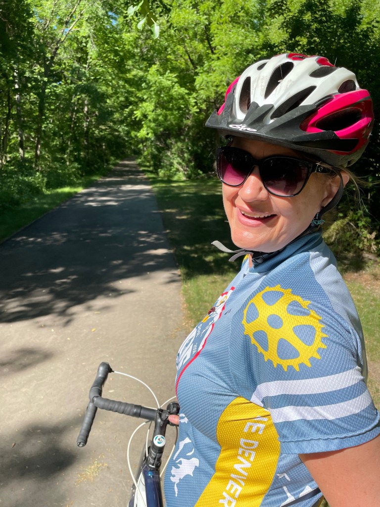
Jackie joining for some riding near the trail town of Elysian

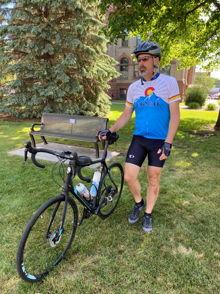
Jax parked the car at an old rail stop building midway along the trail in Elysian and joined the trail for several miles, doubling back to fetch the car. We were tempted to leave the car behind, but figured it might prove useful for the rest of the trip. Alas, the Sakatah trail came to an end at the town of Faribault, but a few low-travelled and wide-shouldered roads led to a reconnection of the rail-trail line, now called the Mill Towns State Trail.
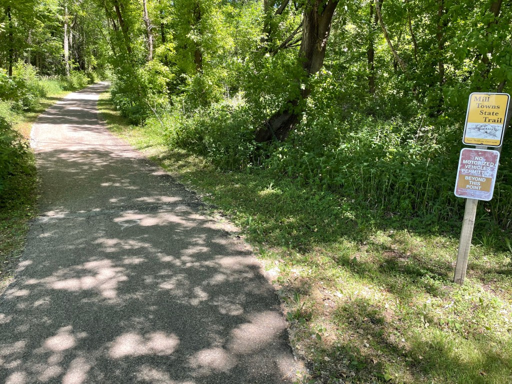
Mill Towns State Trail, Dundas MN

Owing to advanced milling equipment devised and implemented in this area, Milled Minnesota Flour became a popular commodity in the late 1800’s and brought fame to this valley. Rail cars served the river-powered mills and brought enterprising settlers into central Minnesota. The mills eventually burned down, but the history remains.
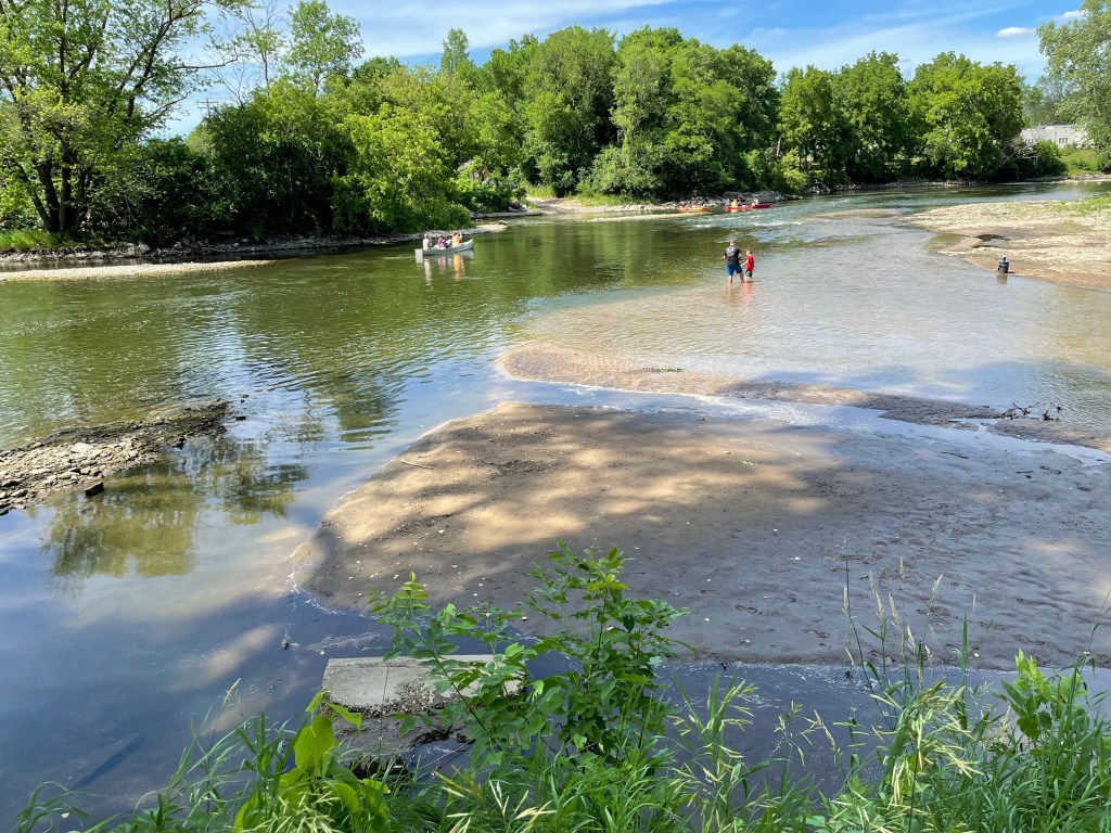
Cannon River

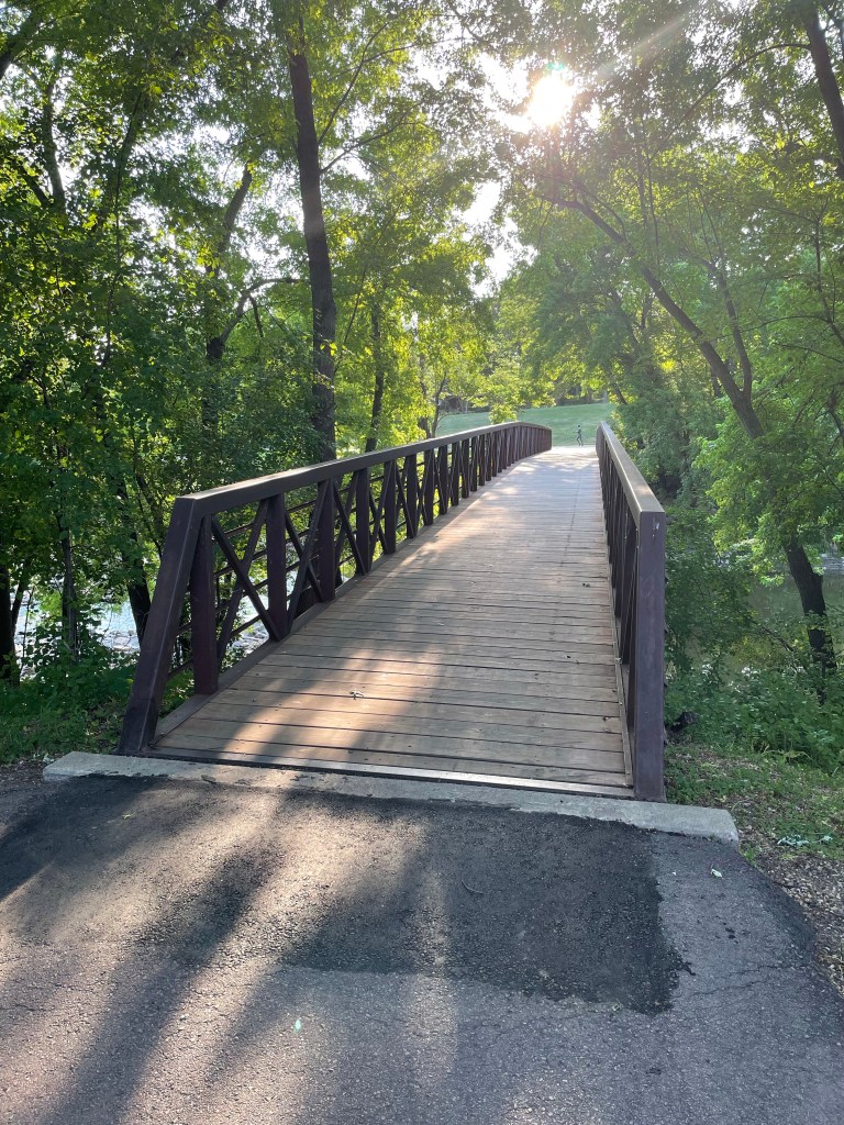
From the town of Cannon Falls, the Cannon Valley Trail offered another beautiful car-free corridor towards today’s destination of Red Wing. 20 miles of down-river and down-wind bliss, complete with rest-stops.
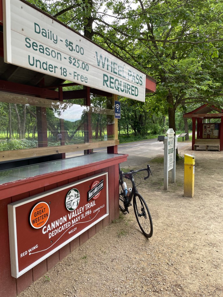
Cannon Valley Trail Rest Stop

And then, the Mississippi River town of Red Wing – home of Red Wing Shoes. 97 total miles, the vast majority on well maintained paved trails. What a great ride…

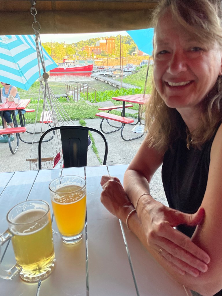
Mississippi River at Red Wing MN

Celebration

… and a great celebration at the end of the day! Tomorrow is a rest day as Jackie and I celebrate our 29th wedding anniversary. See ya.
C2C Day 30 Worthington MN to Mankato MN

Red Jacket Trail, Mankato MN

“Oooh, you’ve got a ways to go then” said the heavyset man in a thick Minnesota accent upon hearing of my intended destination this day. The man was cruising along in the early morning stillness on a three-wheel bicycle (an adult tricycle, maybe?) in the small town of Heron Lake. I slowed to his leisurely pace of about 6 mph and struck up a conversation, as fellow long-distance cyclists tend to do. “I’m heading to Shaffer’s Crossing where I’ll turn around and head back”, he joyfully replied when I asked where he was headed. I’ve no idea where that is, but I’m sure he eventually got there and happily returned, waving to local townsfolk along the way. Further proof that it’s not how far or fast you go, but to enjoy the ride.

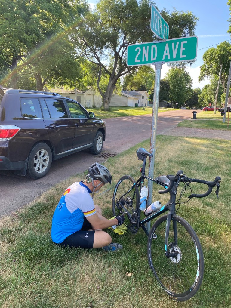
Routine bike maintenance, Heron Lake MN

The big man on three wheels was absolutely correct – it was a ways to Mankato. 110 miles total. 66 degrees to start, 91 at the finish. Light winds (thankfully) throughout, except when I found myself in the middle of a huge wind farm – I guess they know to put those big turbines in wind-prone areas!

City Square, Windom MN

A nice and shady town square in Windom served as a good place to refuel after about 30 miles. Jax visited the local library housed in a grandiose building that formerly served as a bank. A lot of farmland, and small farm towns, and friendly folks wondering what we were up to… and offering up advice on detours. Summer is construction season in Minnesota, which caused a few extra bonus miles.

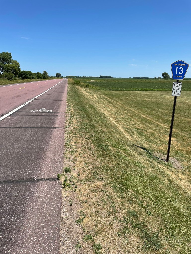
A Rural Bike Lane! Watonwan County MN

An unexpected ‘rural road bike lane’ offered a wonderfully wide shoulder and designated bikeway between the towns of St. James and Madelia, courtesy of the WATonwan COunty Trail System. A thank you and shout out to WATCOTS.

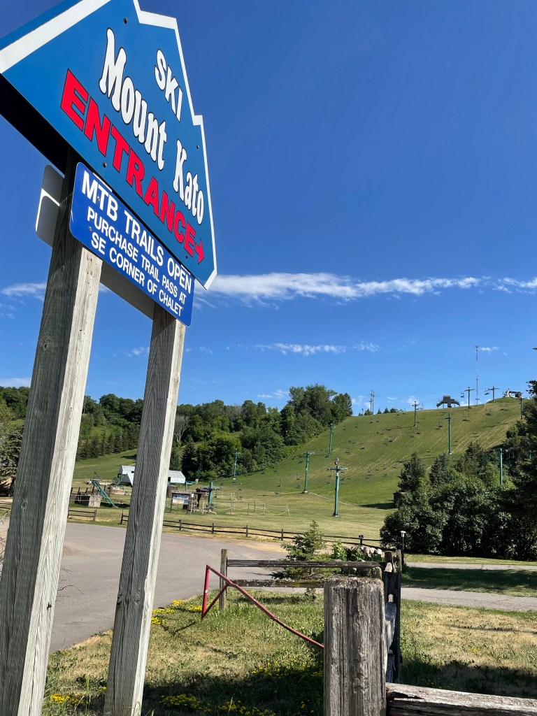
Mount Kato Ski Area, Mankato MN.

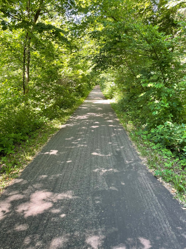
Approaching Mankato, the terrain turned from flat farmland to hilly treelined river valleys. Some might even say mountainous? Witness Mount Kato (a cleaver take on ManKato) – which looks to be a wonderful winter ski area, with at least 3 lifts. But I’m not sure I’d call it a mountain. Steep hill, maybe. It’s nestled along a stunningly beautiful path called the Red Jacket Trail. After 100 miles of farmland, the tree-lined recreation path (converted from a former railway) felt like a totally different world with singing birds, prancing deer… and free-range chickens (no kidding, perhaps they escaped from one of the nearby farms!).

Red Jacket Trail, Mankato MN

More Rails-to-Trails tomorrow on the way to Red Wing, Minnesota. Looking forward to it!

C2C Day 29 Sioux Falls SD to Worthington MN

Sioux Falls Greenway

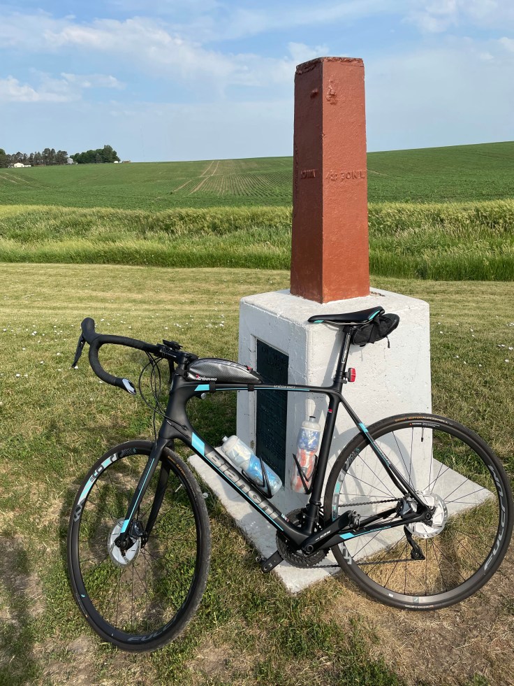
66 degrees at the start of todays ride, 91 at the finish. 74 miles, mostly into a stiff 10-15 mph wind. An inspiring start through the Sioux Falls Greenway which was teeming with joggers, walkers, strollers, young men’s and women’s running teams, and at least one crazy cyclist peddling across the country. Cruising out of the city, I wound down to a farm road that runs right along a borderline – Iowa on my right, South Dakota on my left. Then, about 20 miles out of town, I came upon a geographical point of interest:

A stone and iron monument marking the corner of South Dakota, Iowa, and Minnesota. Erected before South Dakota was a state (‘Dakota Territory’), the 1859 iron piling is rusty and the stone base is cracked an chipped – but it has somehow survived weather, vandalism, and vehicles – restored to it’s current splendor in 1980. Fun factoid: you may know that the US has one 4-corner spot (CO-UT-NM-AZ), but did you know there are 61 Three-Corner spots across the country? Of these, 38 are on dry land while the remainder are in rivers or lakes where no marker can be placed. So… I can now proudly claim to have visited one of the thrilling three-corner markers. Ha!

Main Street, Luverne Minnesota

Having survived the throng of crowds and traffic at the three-corner marker, I made my way to the lovely town of Luverne Minnesota – and low and behold, on main street, I came across something ever rarer than a three-corner monument… a Domagala Billboard! I stopped to snap a photo of the glorious signage, and then went in to meet this fellow Domagala.

Nicholas and Dan Domagala

Nicholas grew up in Luverne, played hockey (as most boys do when growing up in Minnesota), and now coaches youth teams (he’s got 4 kids). We tried to trace back our Domagala roots, but neither of us are very tuned into our genealogy. Nick’s grandfather lived in South Dakota, mine was born in North Dakota – so there is likely a connection somewhere upstream as the Domagala name is not very prevalent in the U.S. We exchanged contact info and I promised Nicholas a beer if he someday makes it to Denver for a hockey tournament.

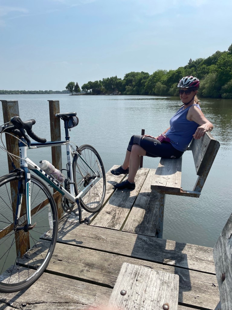
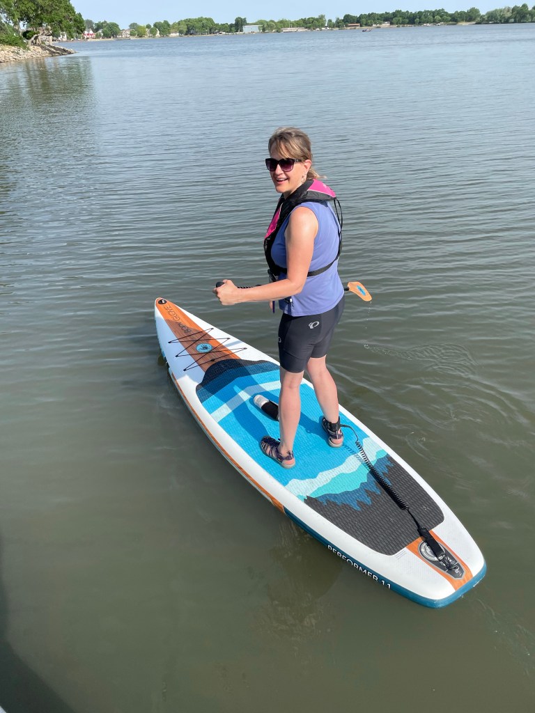
After the excitement in Luverne, it was a steady headwind roll into our destination town of Worthington. Jackie smartly skipped the town-to-town riding (providing awesome support!) and instead took a 6 mile stroll around Worthington’s Lake Okabena. Lined with parks, paths, and some nice lakefront homes, Okabena is a wonderful city lake. And not content with merely riding AROUND the lake, Jax pumped up the paddleboard and rode ON the lake. Way to go, Babe!

Jackie on Lake Okabena…
…And swapping from bike to paddle board!

We’ll enjoy an evening in Worthington, and get plenty of rest for tomorrow’s 105 mile ride to Mankato. Let’s hope for favorable winds!

Blog at WordPress.com.

Up ↑